Masca 01.02.2017
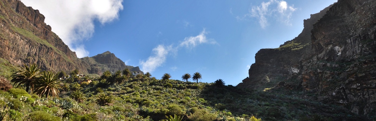
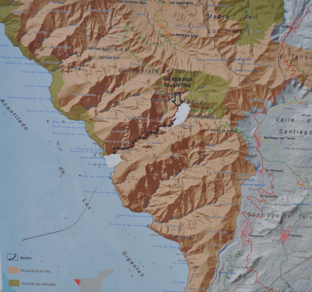
One of the most visited island attractions in Masca village and hiking trail from village to the ocean.
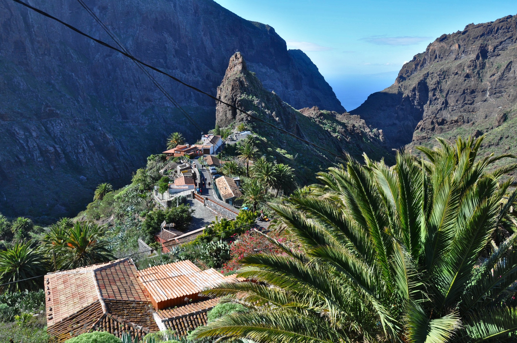

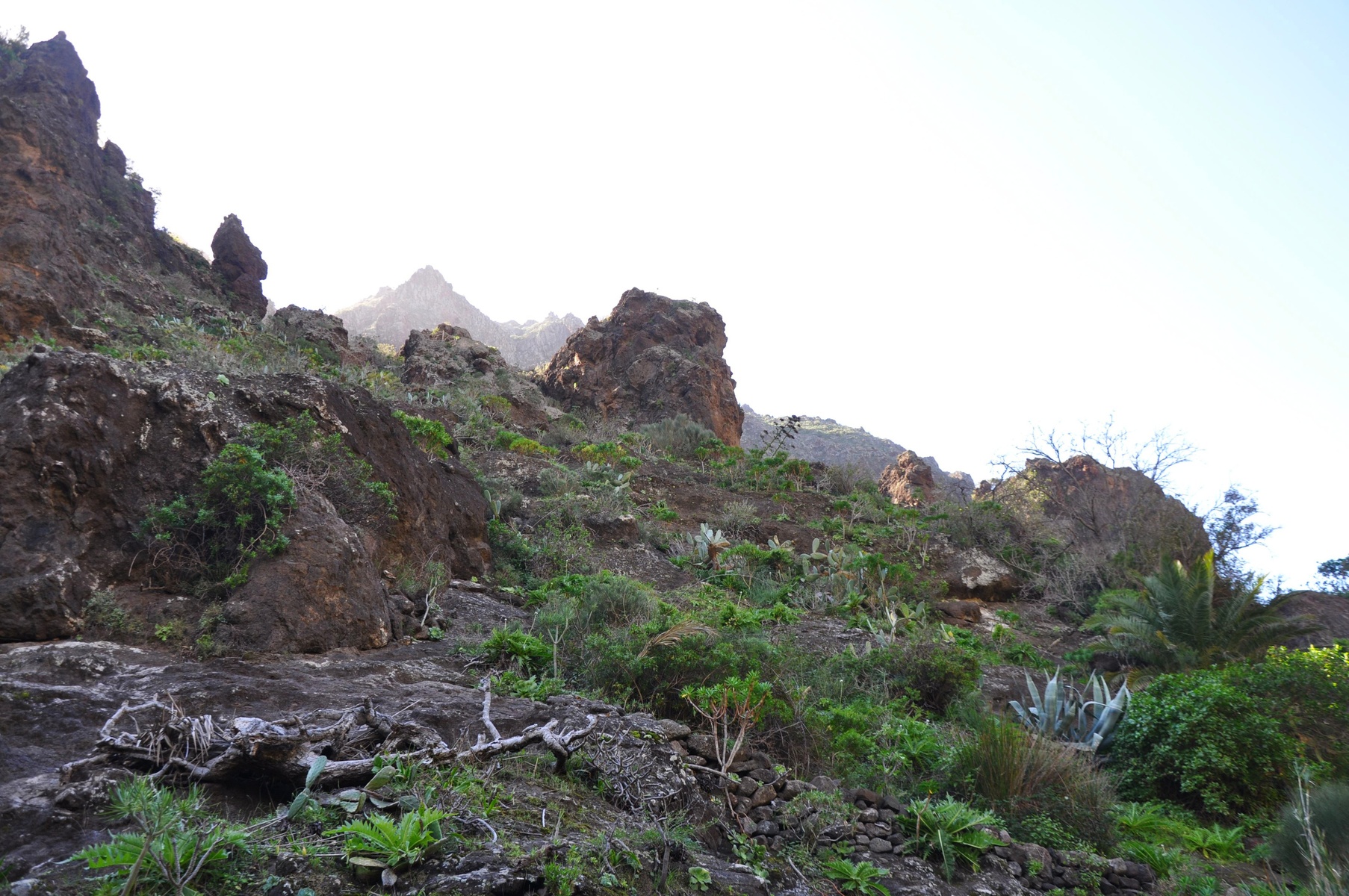
It is located at 1200 meters above the sea level. The road is a hard serpentine. Extremely twisty and narrow. Two cars barely can pass the road together. Though the road was built just about 50 years ago. Until that it was accessible only by walking.
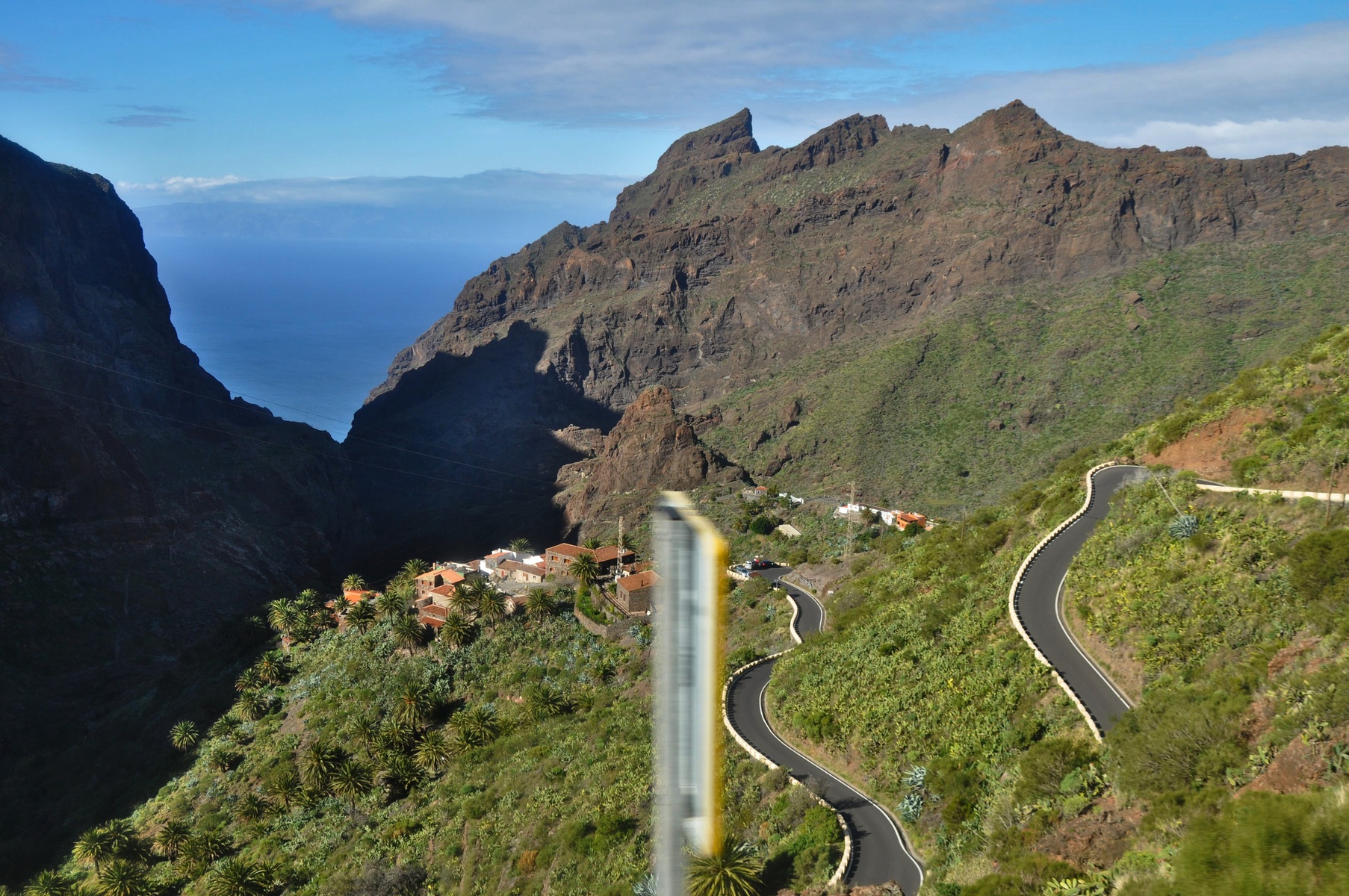

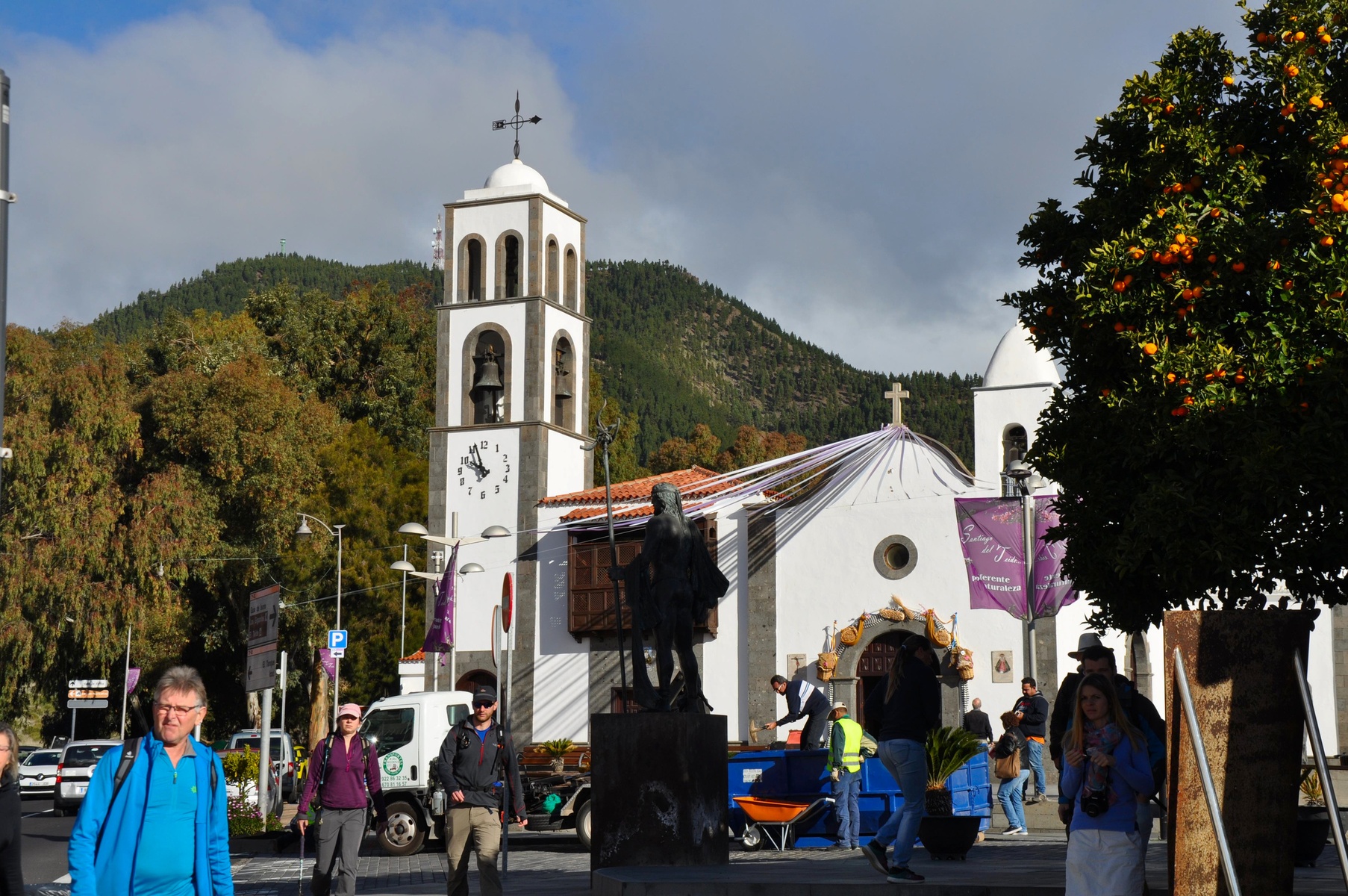
Serpentine starts from Santiago del Teide. There is nothing really to see there, but it is possible to buy a boat ticket to get from end of the trail to Los Gigantos. Otherwise one has to walkt the trail back.
Boat ticket sellers told us that the trail is quite light and it would be easy to make all 6 kilometres. Though we spent quite a while for it.

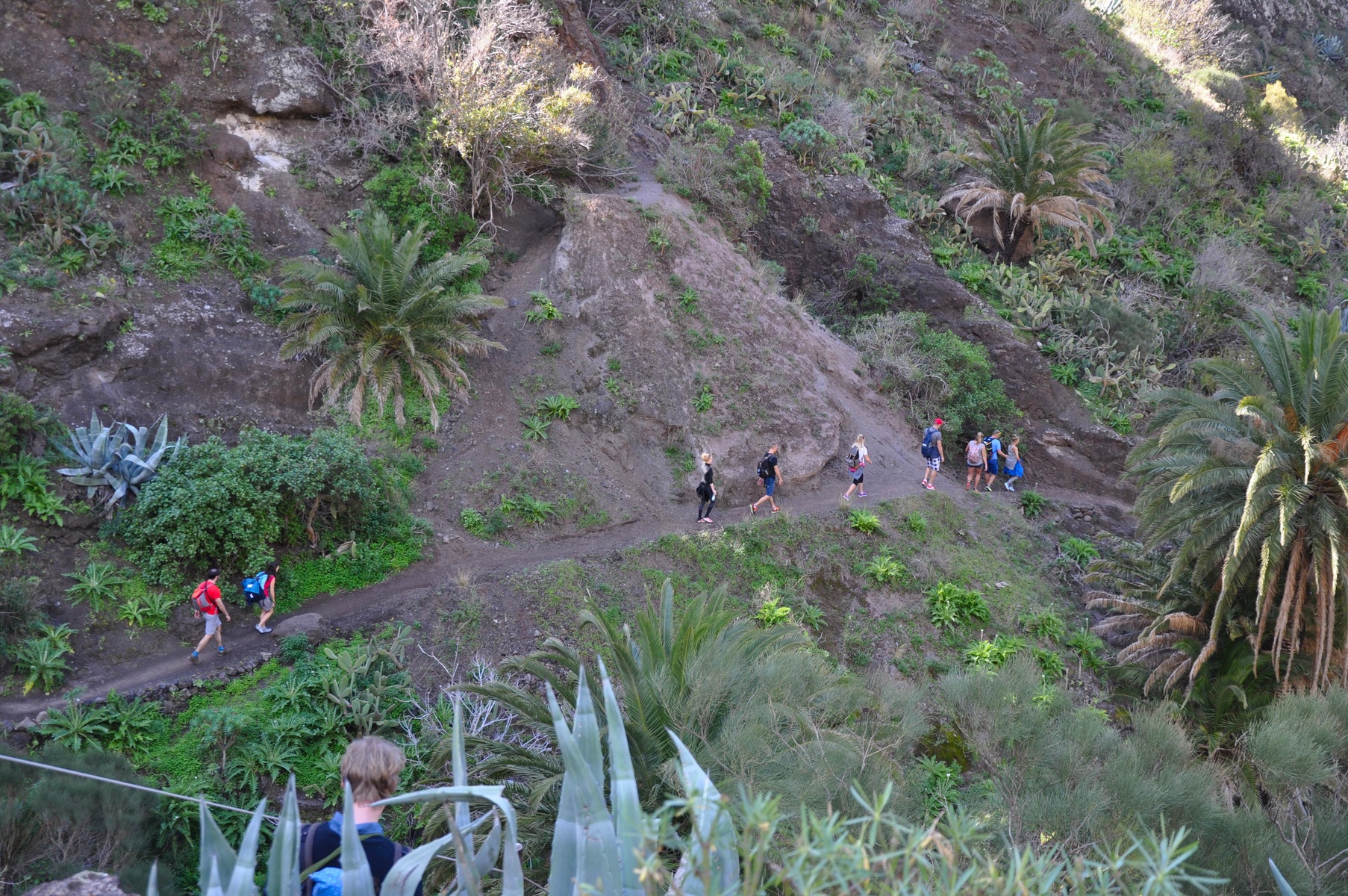
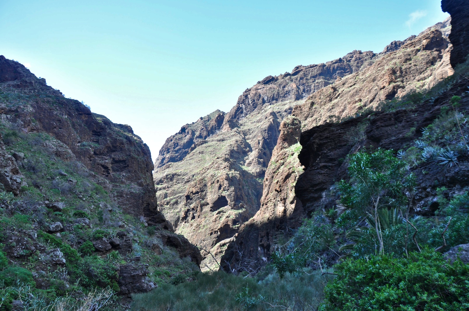
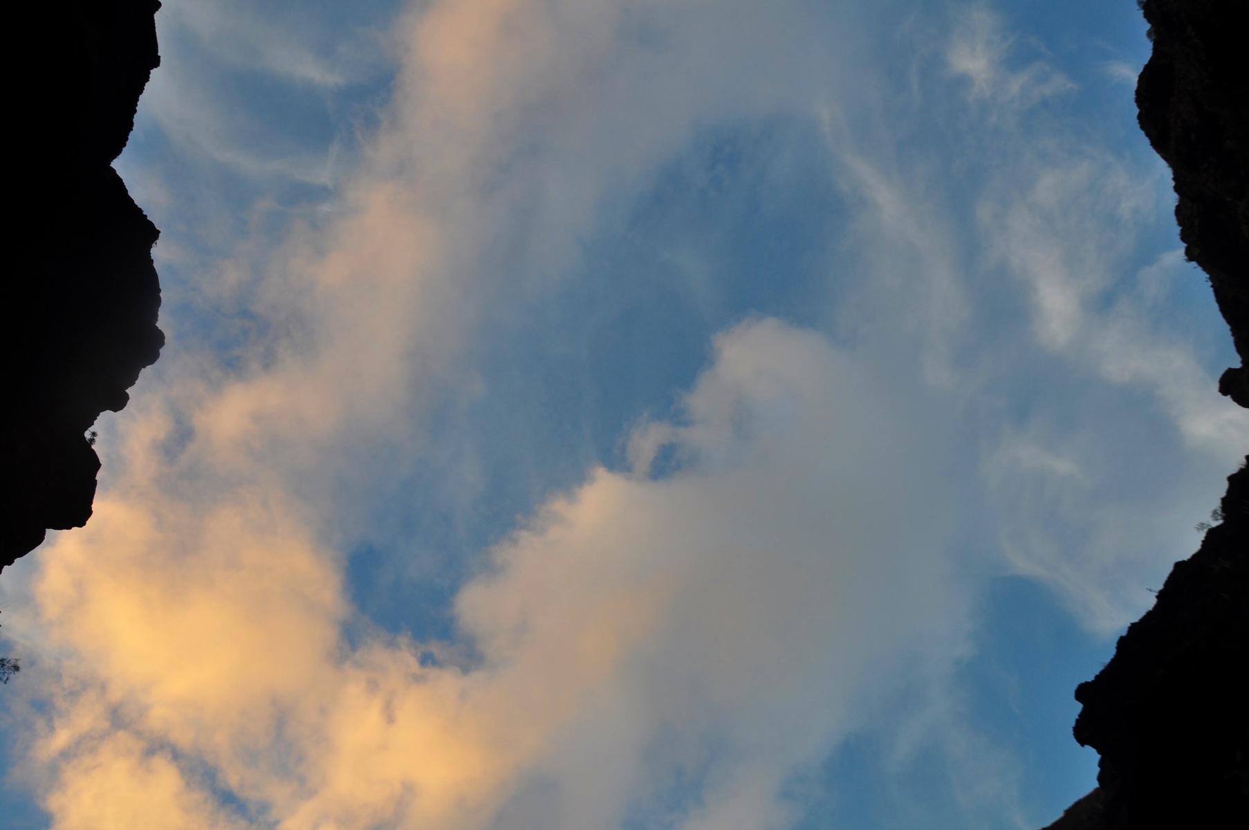
In the beginning of the trail it was really easy and enjoyable. Sunny.

A lot of hikers. Especially aged Germans.
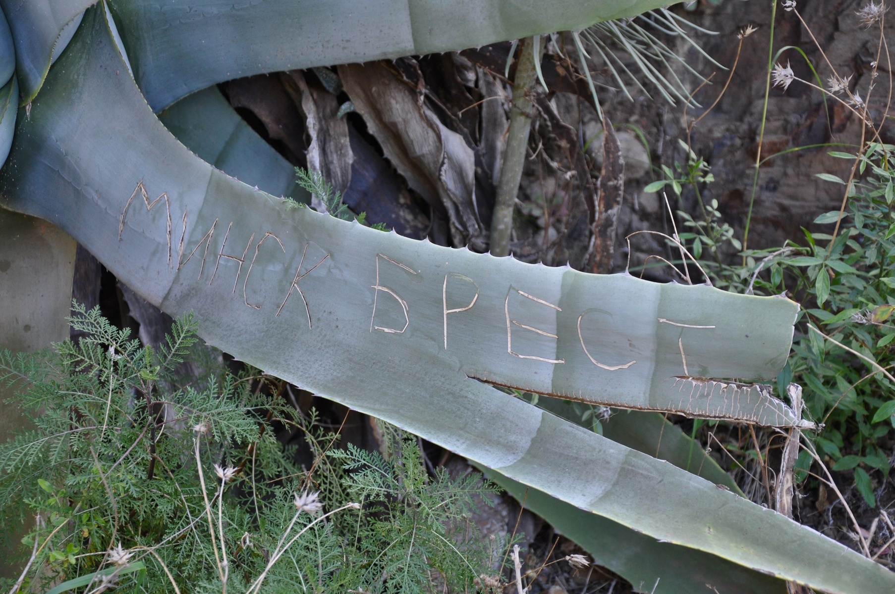
Sometimes one can find footprints of Slavic people.

After about 1 kilometre from the village mobile network is gone. No signal at all. At least GPS is working and in case you have offline map it is possible to get an idea how far is the end of the trail.
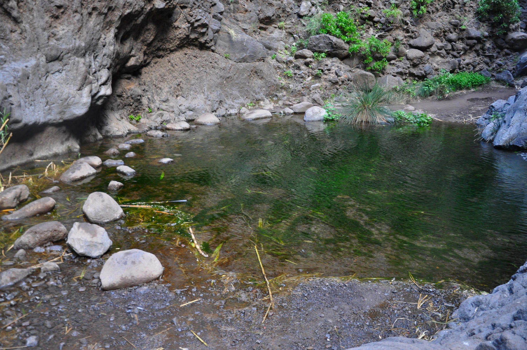
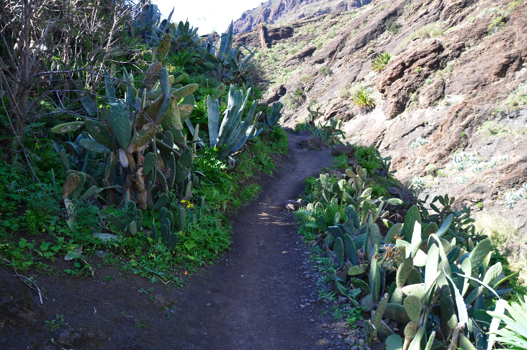
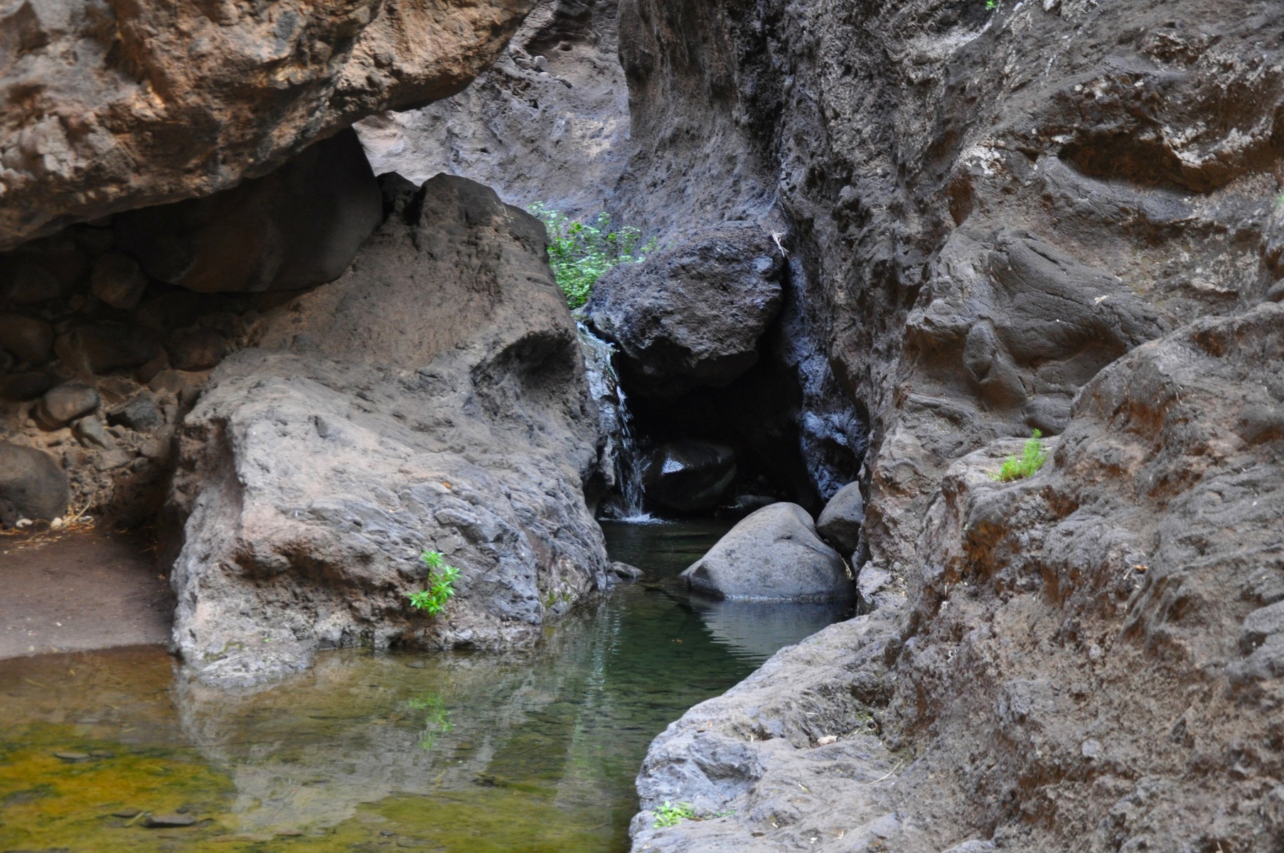
Along the trail there is a small brook. It was really often when I had to cross it. The brook wasn't deep at all, so it's no possible to swim or drawn there. But it's very easy to get your feet wet.
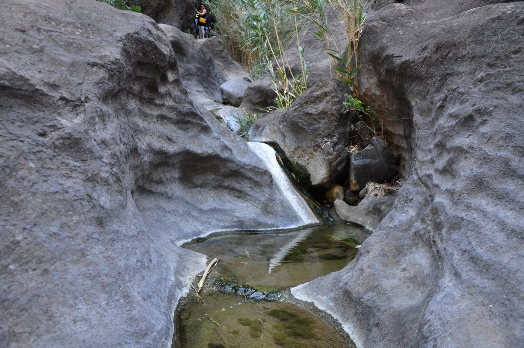
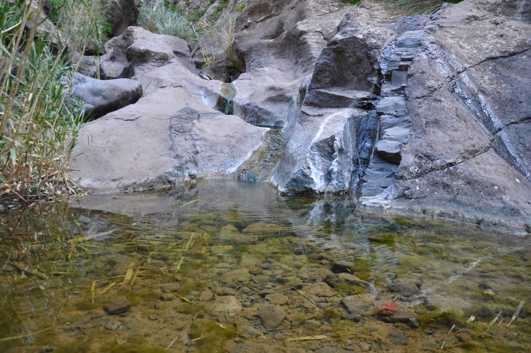
In some places it was easy just to jump over the water, but sometimes the only way was to jump from stone to stone. With backpack after several kilometres it's not that funny as it looks on the photos.

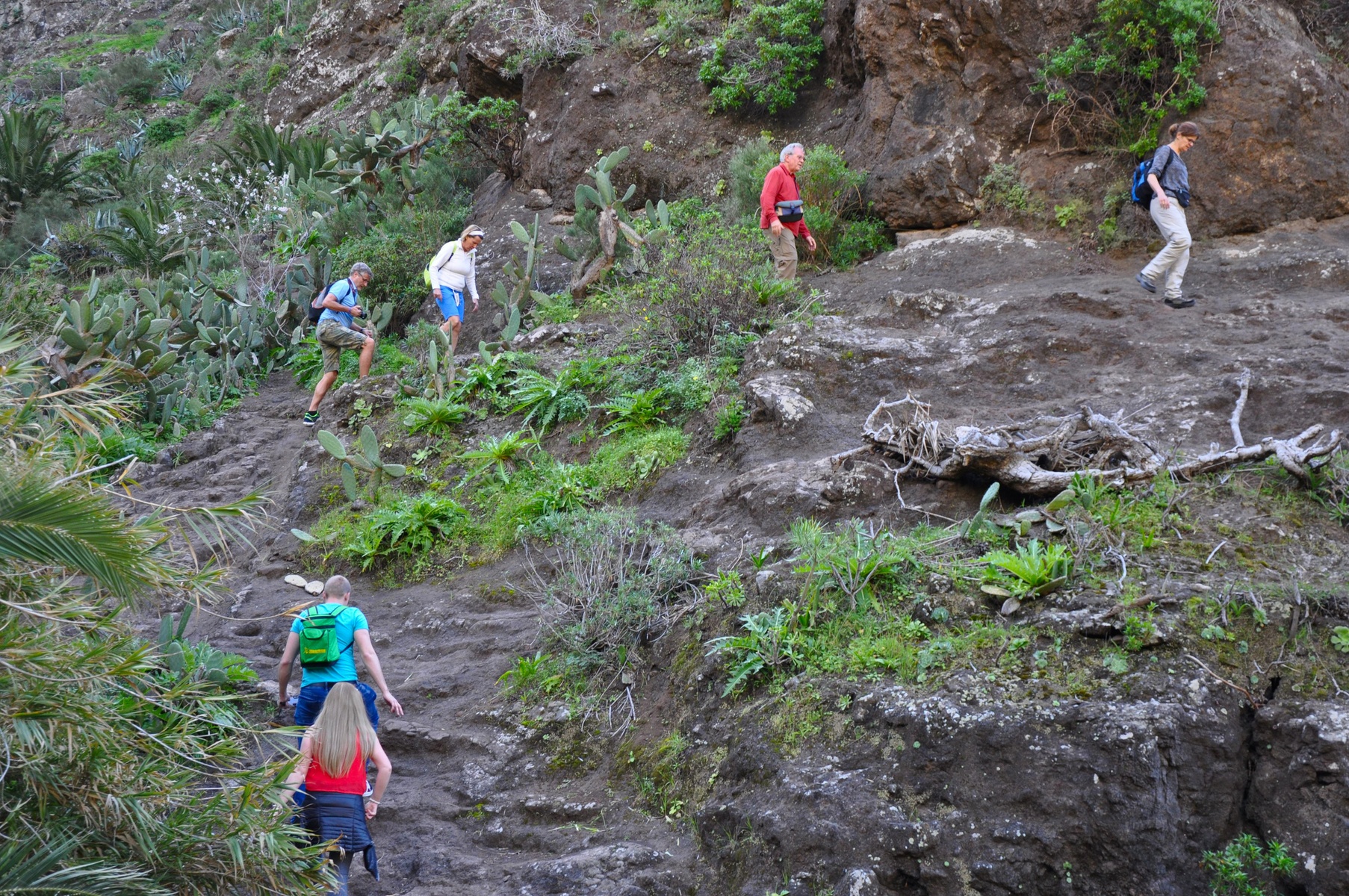
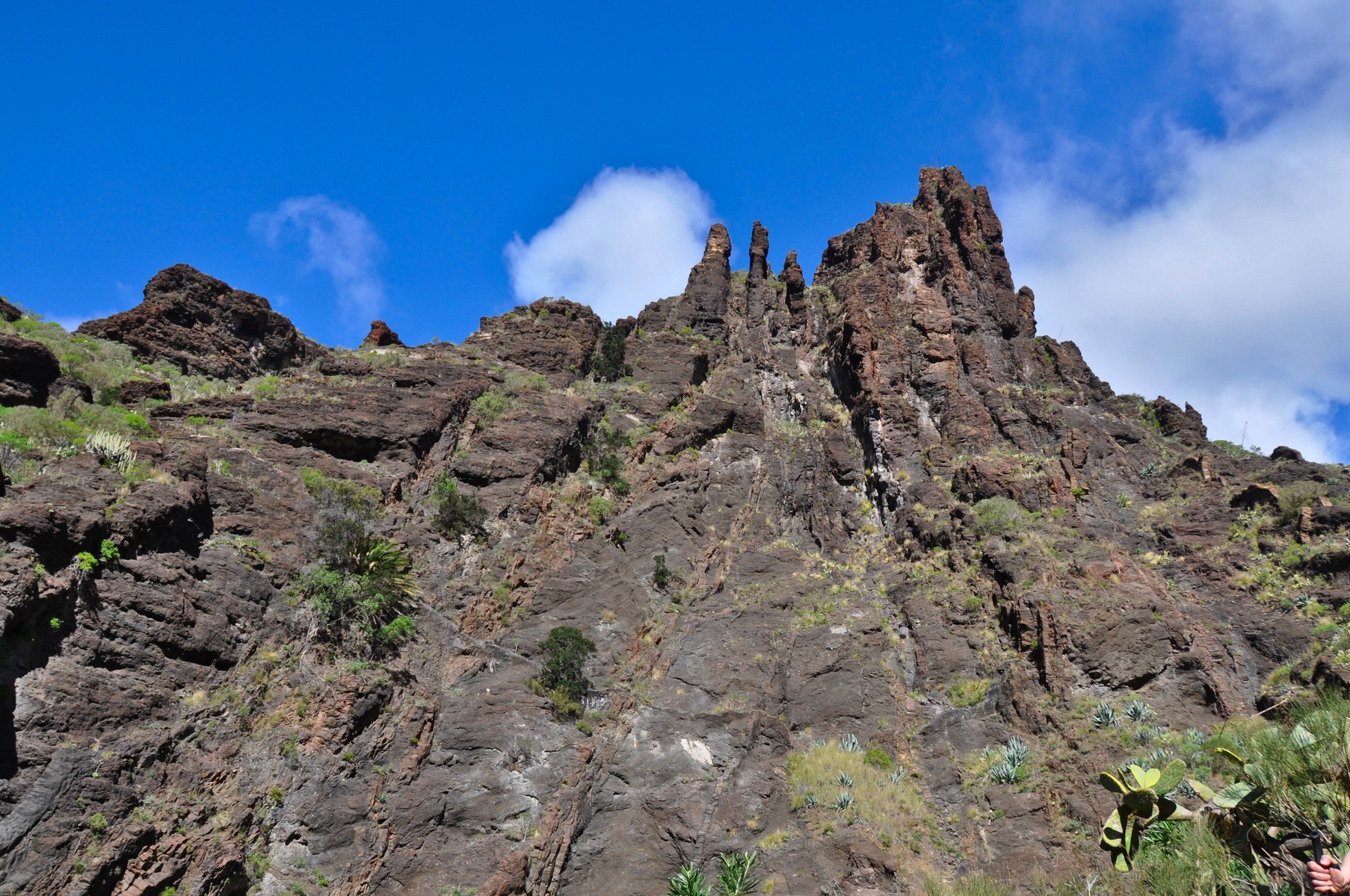
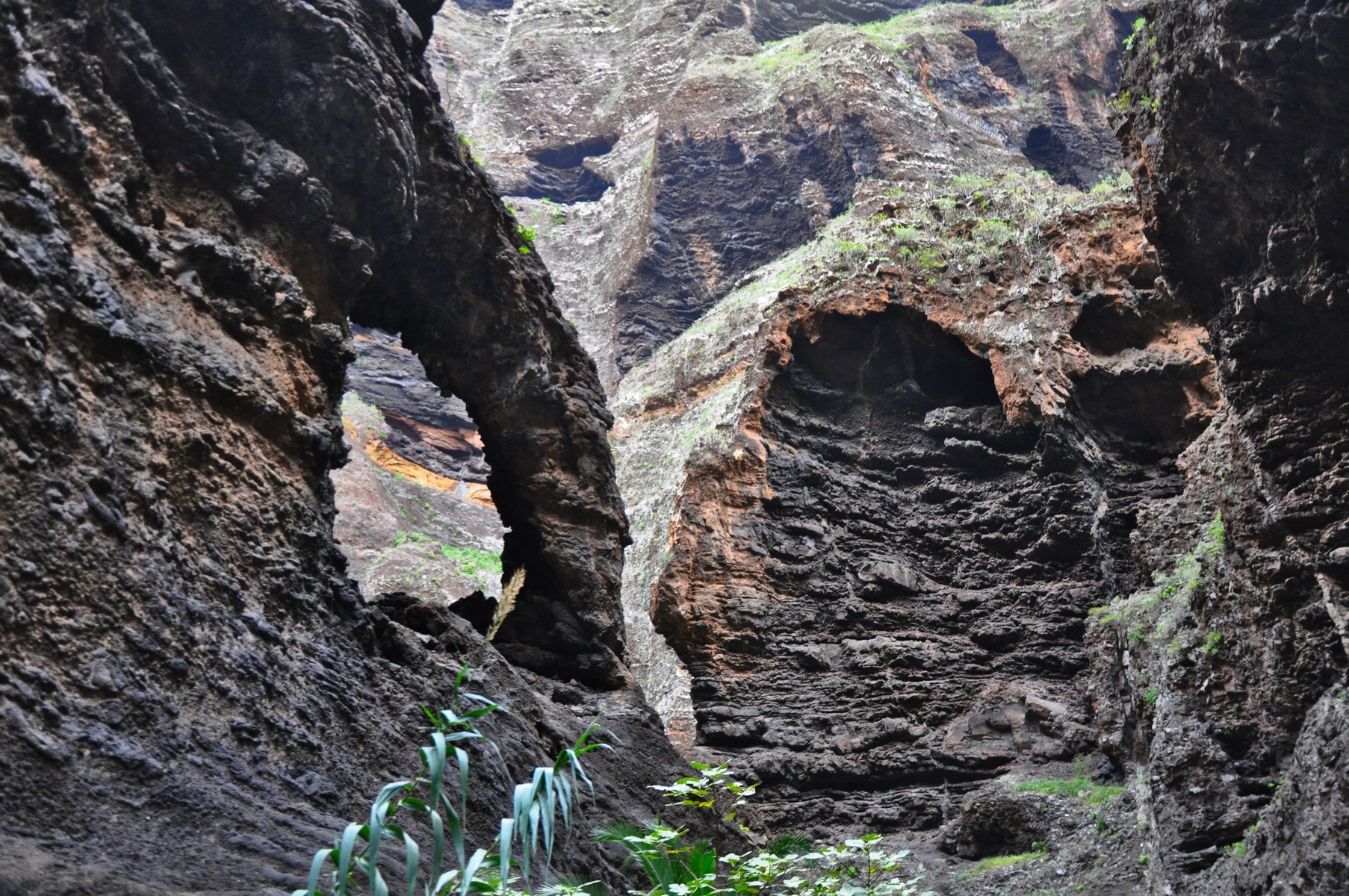
In some places we had to climb on the stones almost as high as average human. Trail is not for a simple walk, it's for more or less prepared people. And you need a good shoes, not flip-flops.
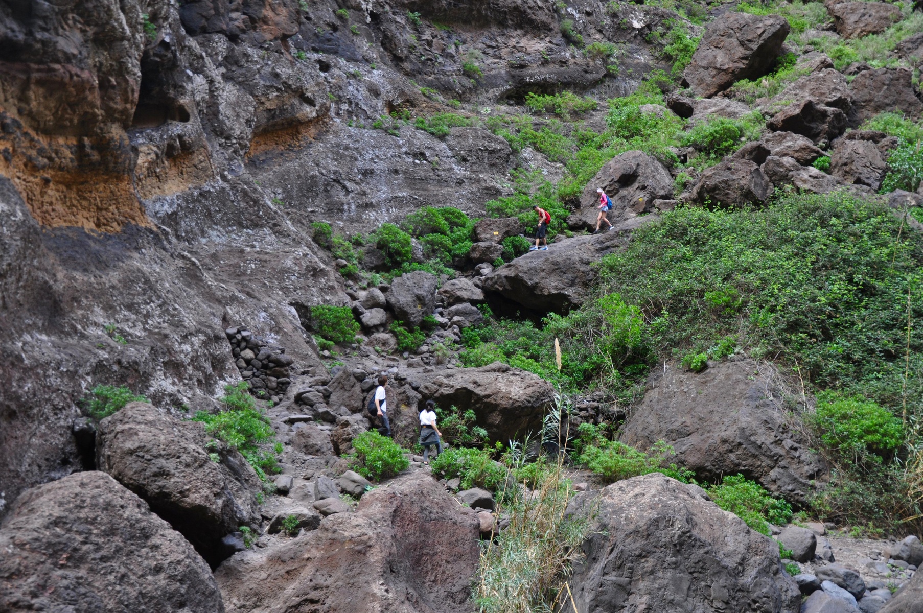
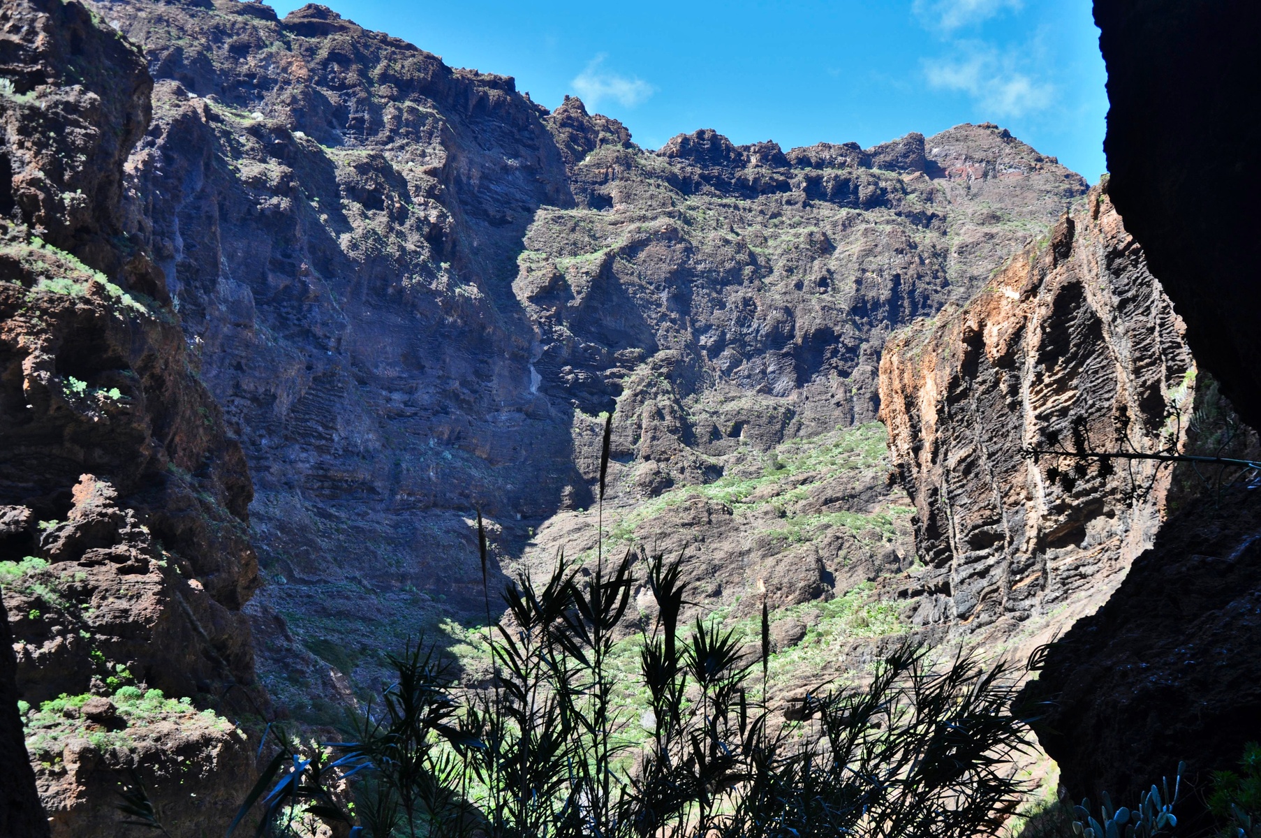
In comparison with Barranco del Infierno this trail is really in the bad shape. There is almost no any signs, too many trail forks where I had no idea which part to follow. These parts later always merge but one might be a simple trail and another one a nightmare with incredible stones and height difference. And the difference is not obvious right on the fork.
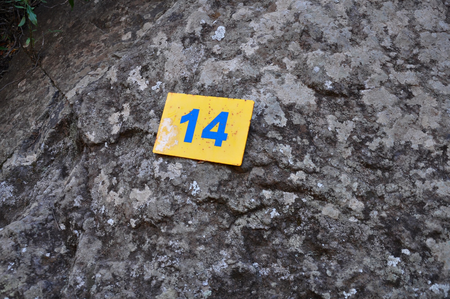
Even 100-meters sign were missed sometimes. However I'm not sure this was these signs, but I saw them quite frequently. Just around a half was missed.
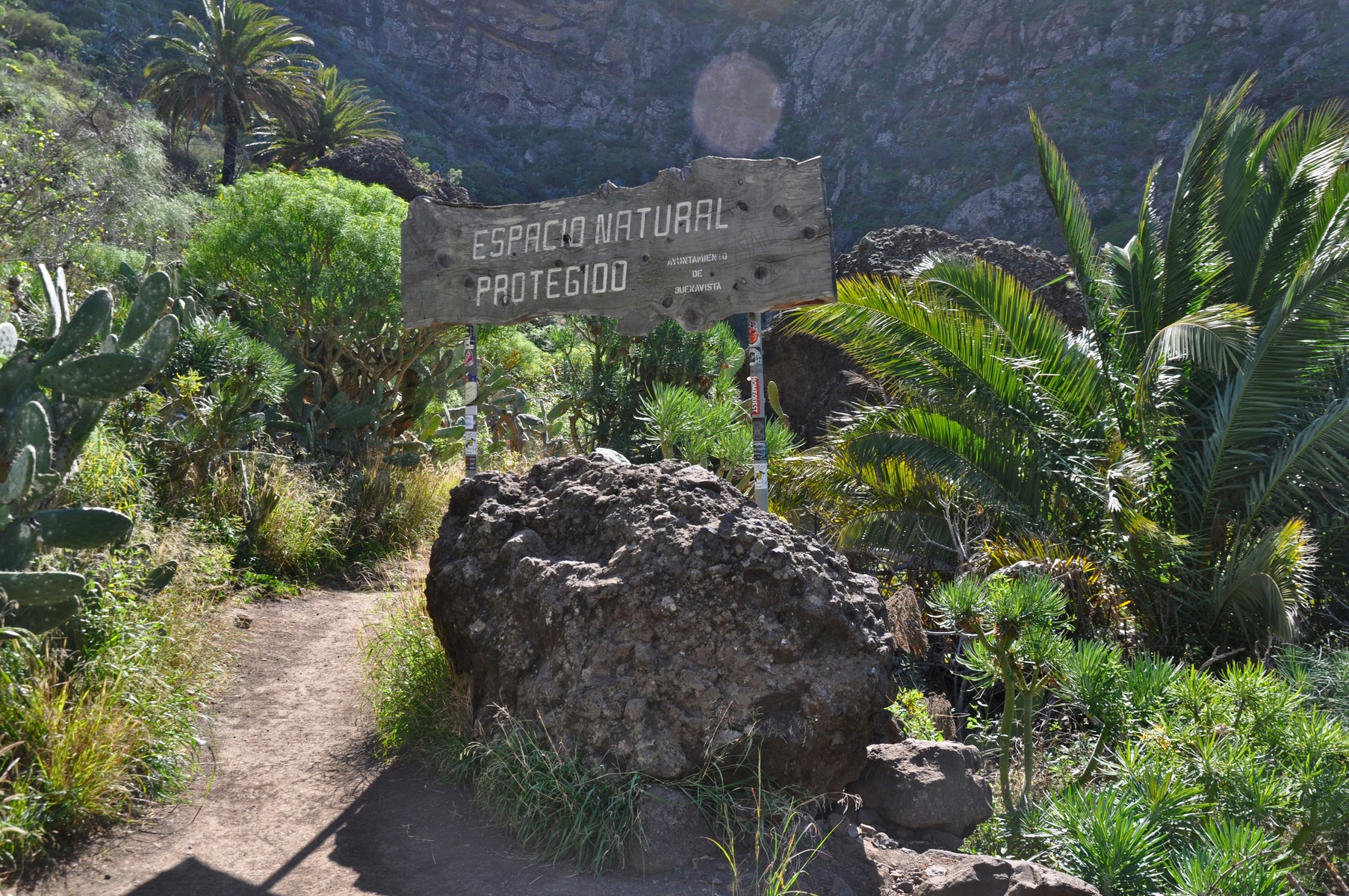
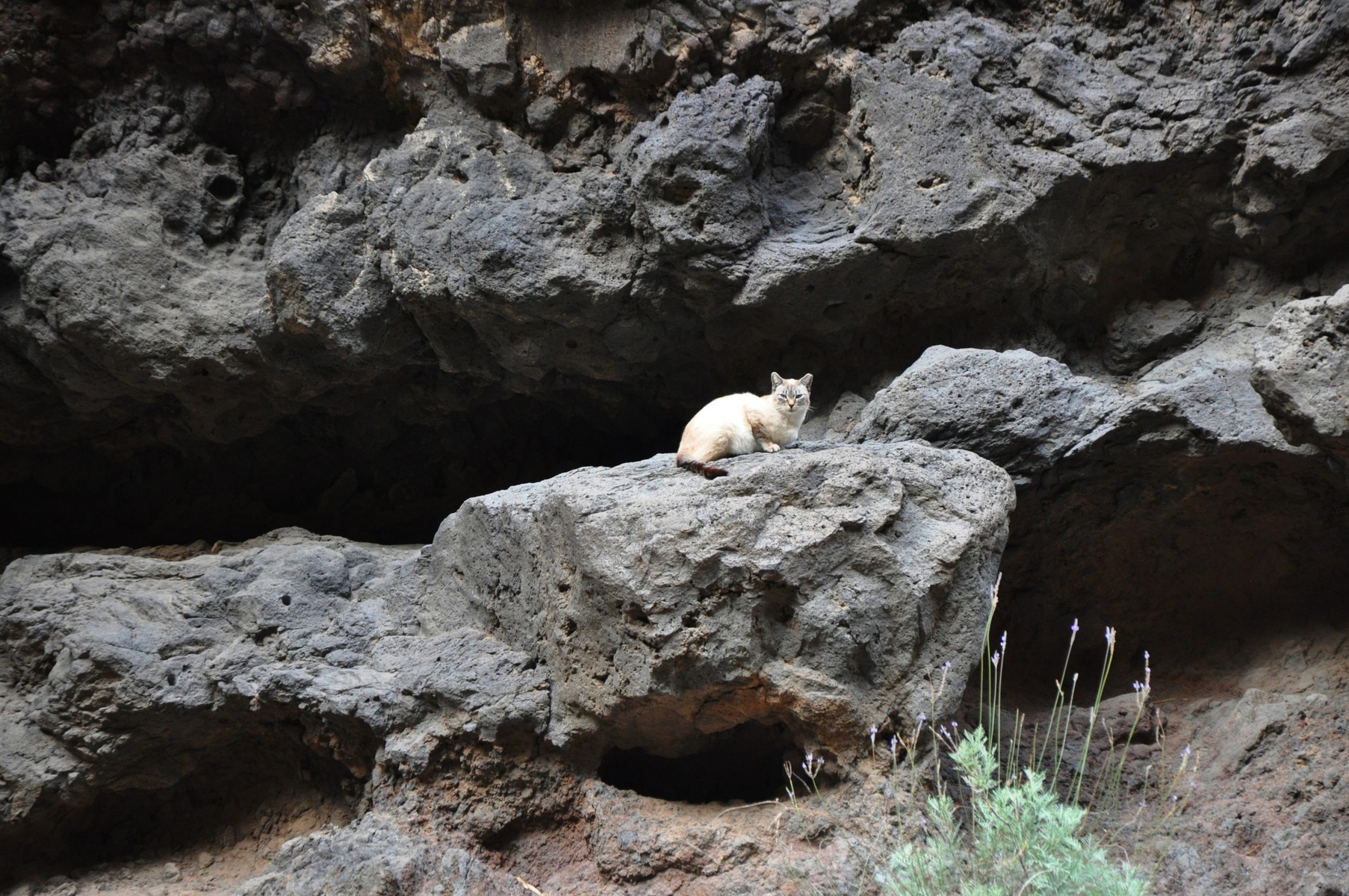
Wild cats live in the gorge. On the beginning there was a sign where it was asked to not feed them. Well, I didn't.
As most of the trail we were walking too slow, we didn't fit in time for the last boat. So I had quickly go to the boat and ask them to wait for us. As they had no choice they assured me that they will wait.
There was a moment when I absolutely seriously tried to figure out the best way to spend the night in the gorge. I was really glad that I had no flight on the next day. Damn, I can't tell you by words how it feels when you're about to spend the night in the wild with no connection with civilization and there are just stoned around you.
Fortunately we finished the trail in the same day already in the dark and the boat still waited for us.
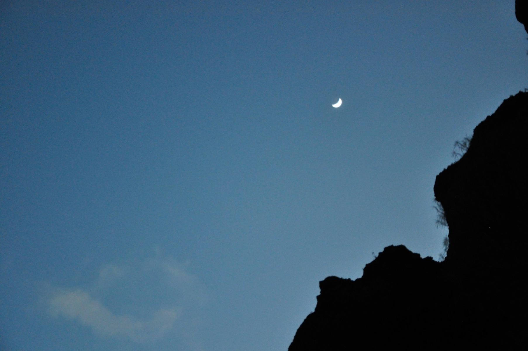
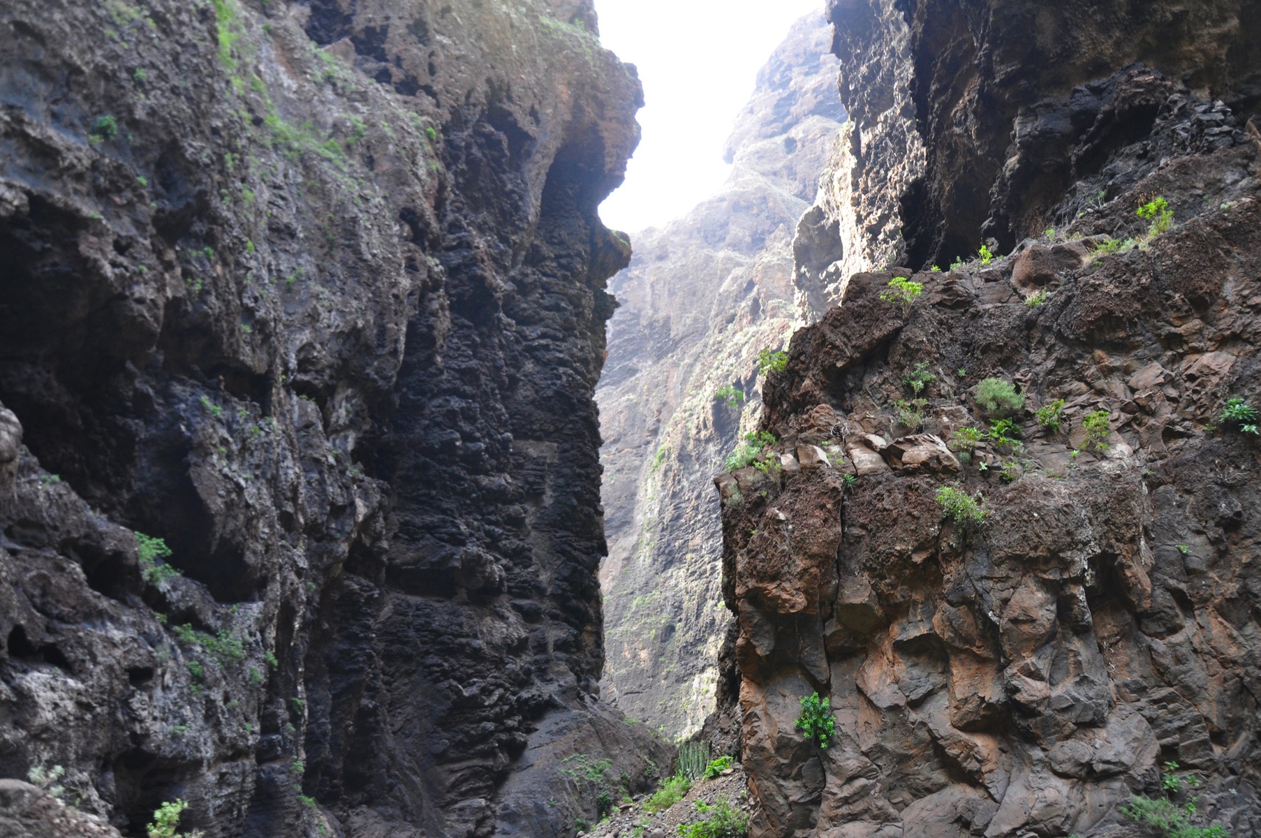
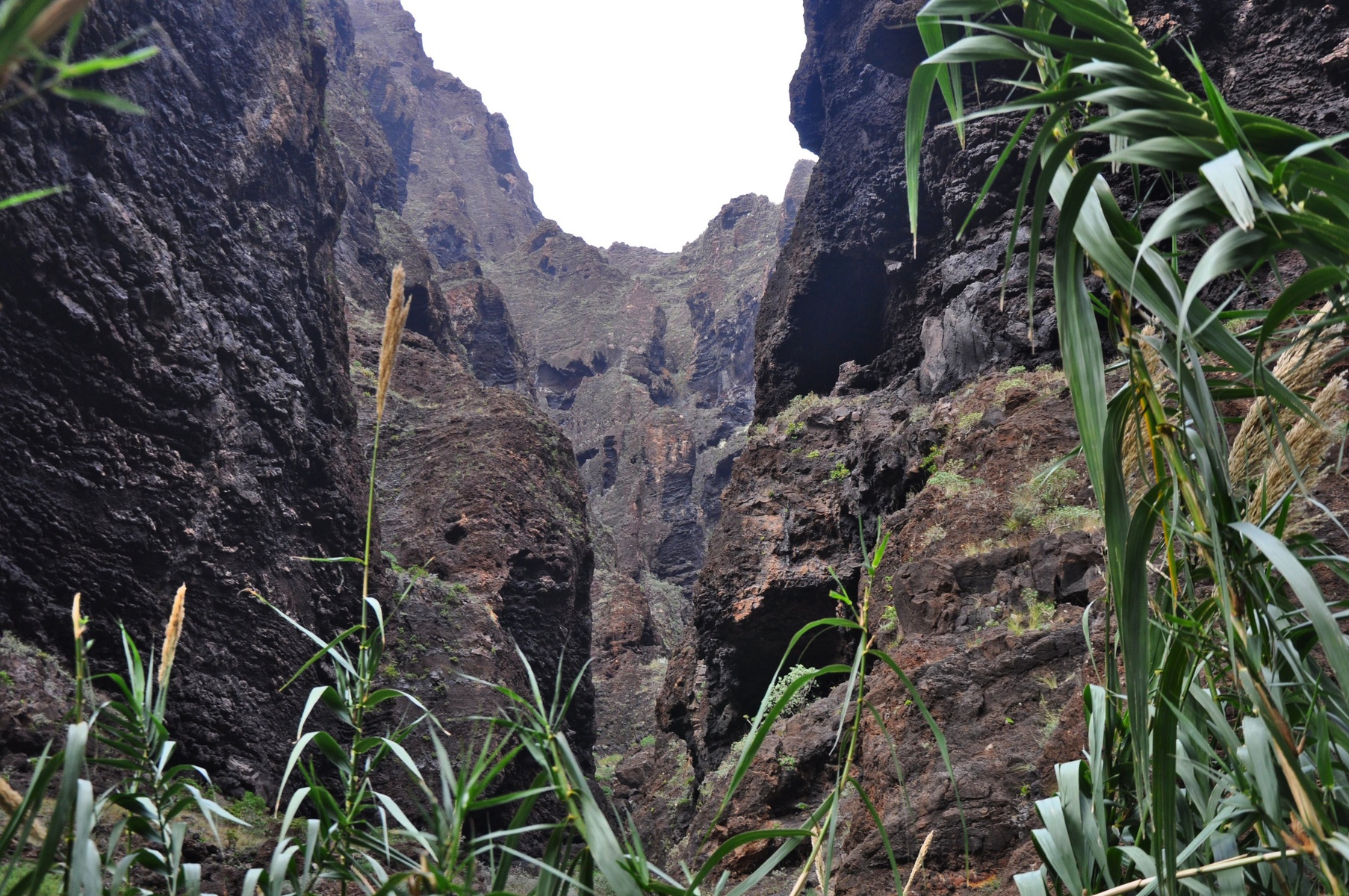
The last part of the trail is not really well documented because of already dark time. But it was the hardest part. Sometimes we had to walk near the 5-7m high abyss and the only support was a cable. Looks more like alpinism, not a hiking.
However I really enjoyed the trail. It was cool experience.