Vardzia 23.05.2017

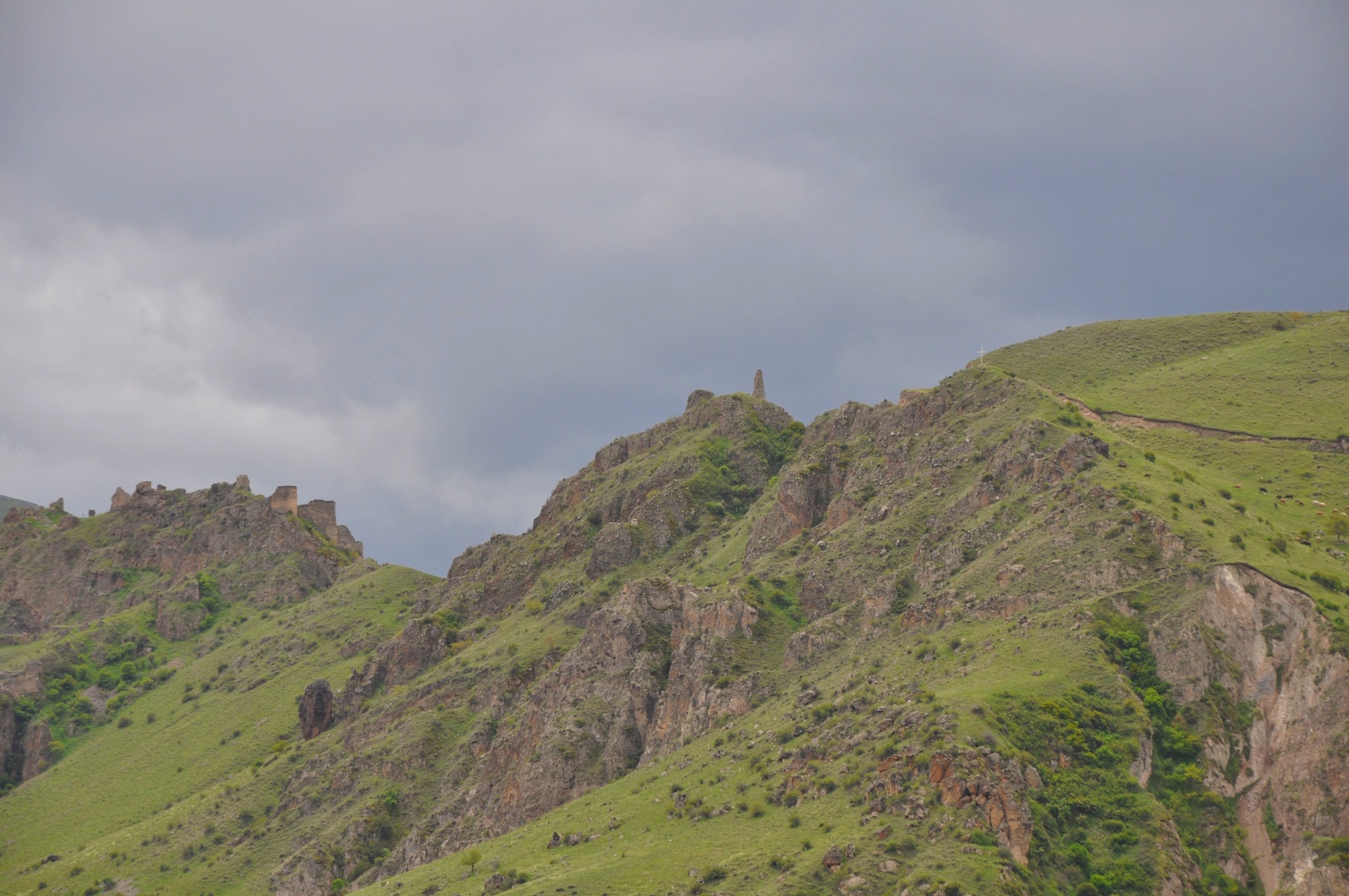
There are way too many ancient buildings and artefacts in Georgia. Khertvisi fortress is one of it. The first time it was mentioned is around II century BC.

The fortress was overtaken several times, however only ruins survived to nowadays.


On the same way a bit closer to Turkish border there is cave monastery Vardzia.
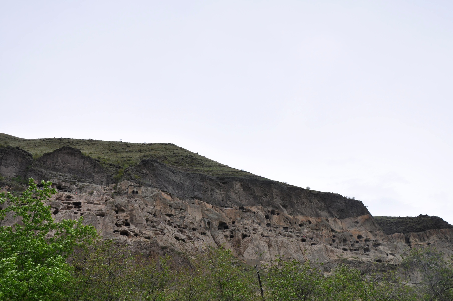
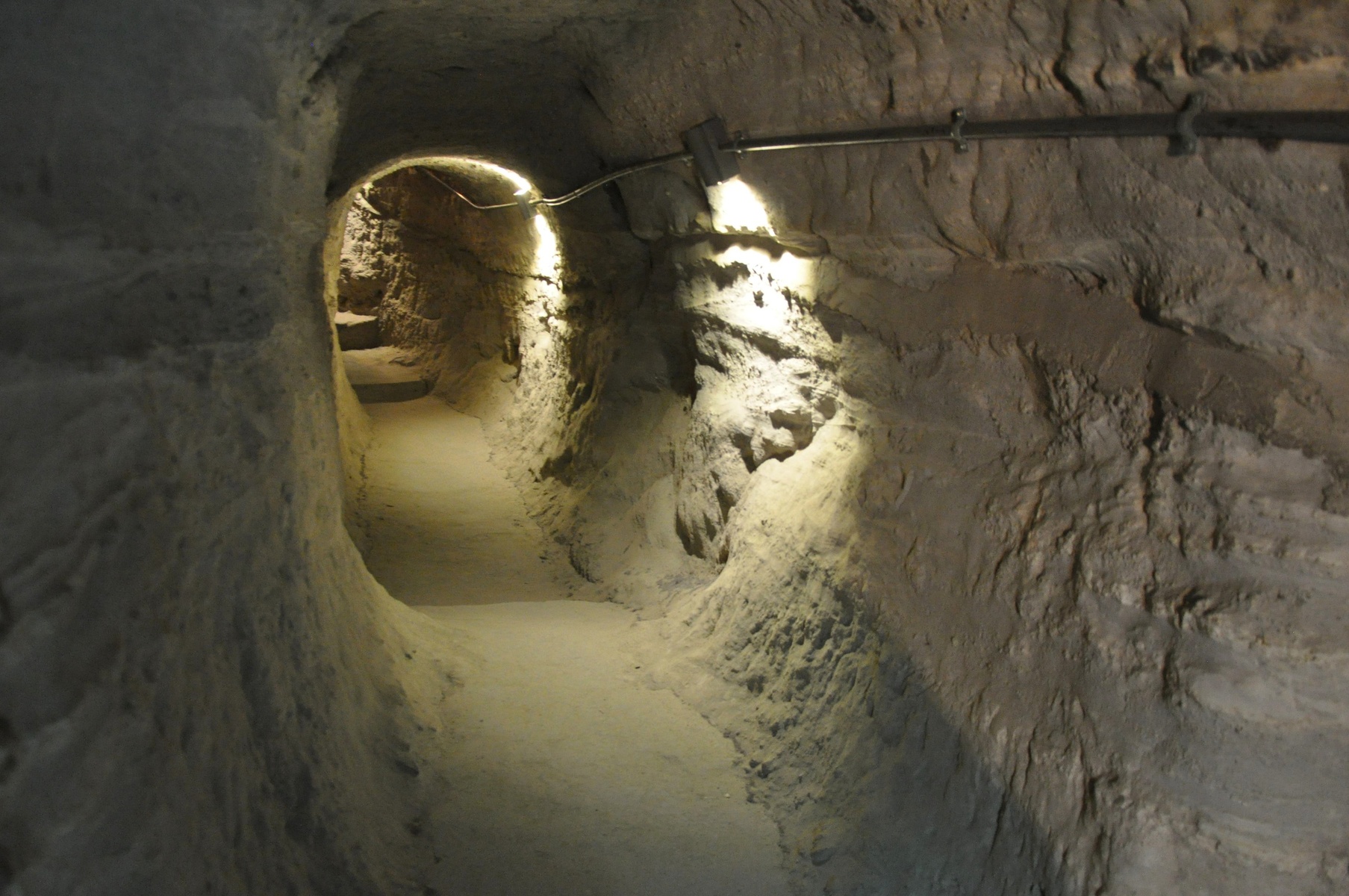
The monastery is located in the same picturesque gorge, as Khertvisi castle. It housed up to 2000 monks, and its caves are located on 13 levels. Unfortunately monastery has suffered earthquake that destroyed façades of many caves.
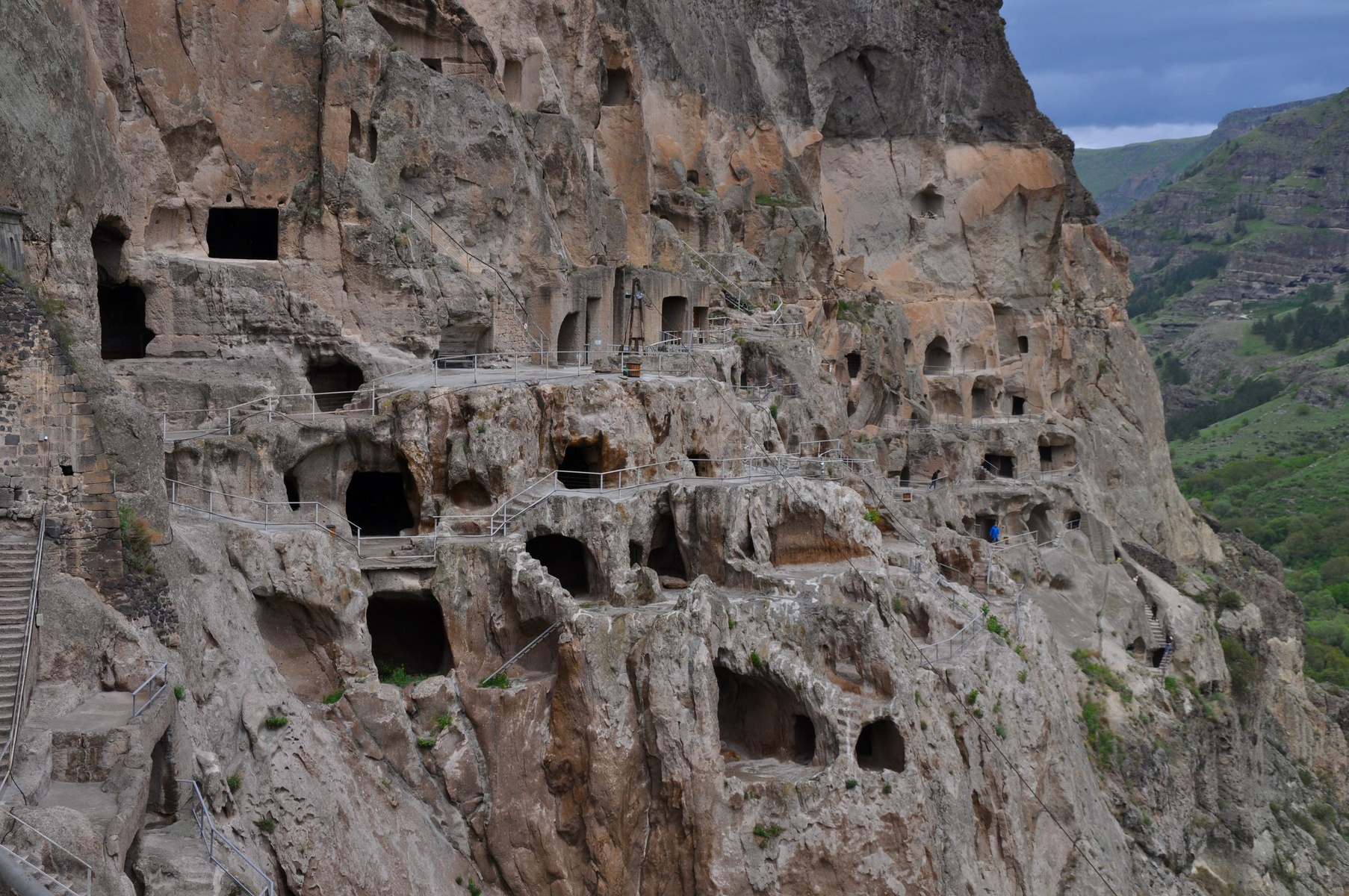
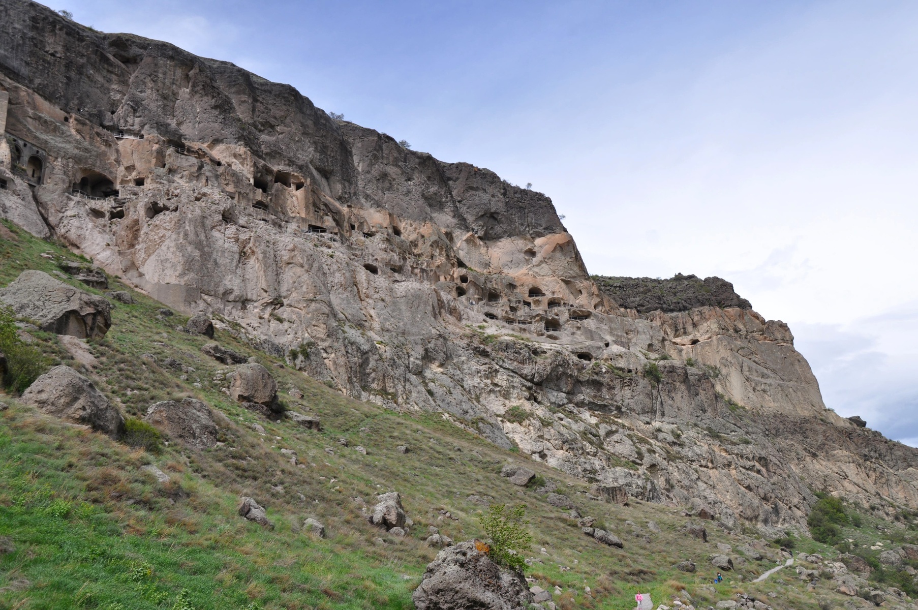
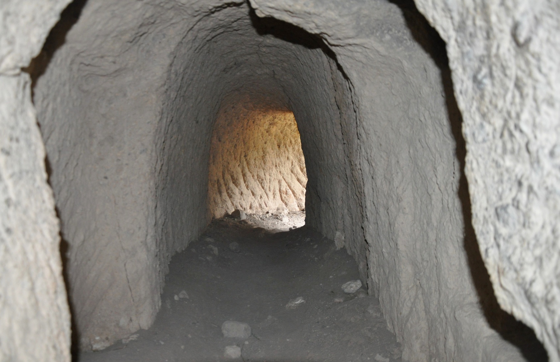
Outside only cave entrances are seen. However there are also many tunnels inside connecting caves with each other. Some are quite narrow, some - wide enough to walk.
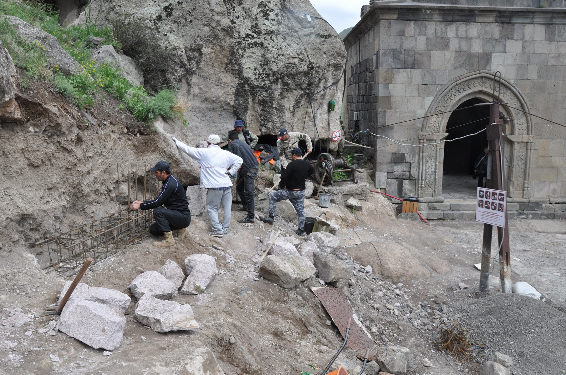
Renovations are still ongoing in the monastery. Structure supporters were installed in caves that can collapse due to cracks in their walls and ceilings.

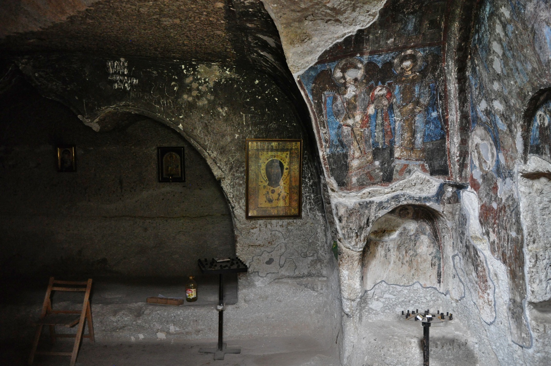
Monastery was invaded by Turks in XVI century. Later Turk shepherds used caves as shelters and burned camp-fires inside. Frescoes on walls were preserved thanks to this smoke.
Curiously enough, monks produced their wine, and monastery had 25 wine cellars.

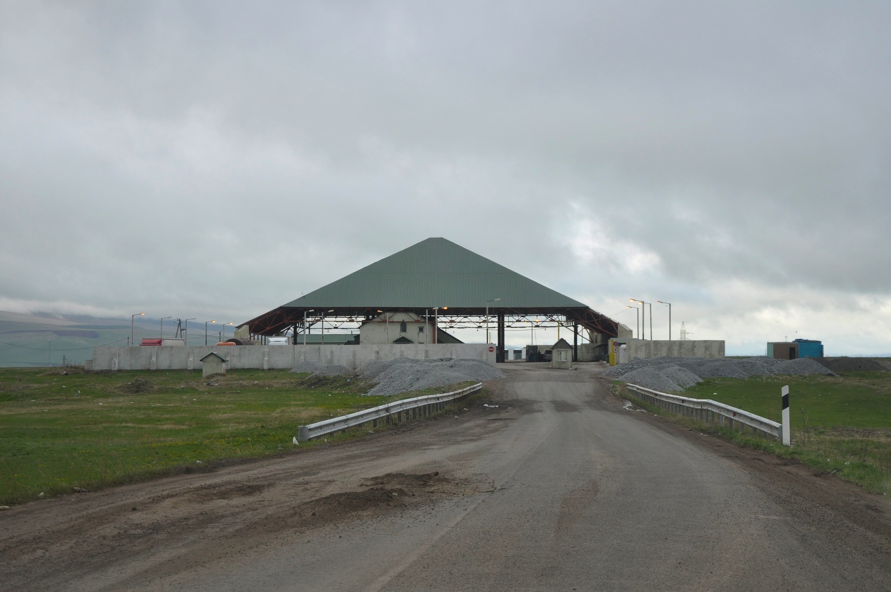
Further we had to cross Georgian-Armenian border. Georgian road to the border is in a very poor condition. Seems like road service is aware about it and even removed part of asphalt around holes, but forgot to put a new asphalt. So holes became even worse.
Armenian border officers held a council whether they could let us in, after they have known that we had been in Azerbaijan. Finally they figured out that we are not Azeri, and let us through, having written down our address in Gyumri.

Interesting, that Armenia in average is higher than Georgia. For example the road from border to Gyumri is around 2000 meters above sea level. That's why clouds look that close.
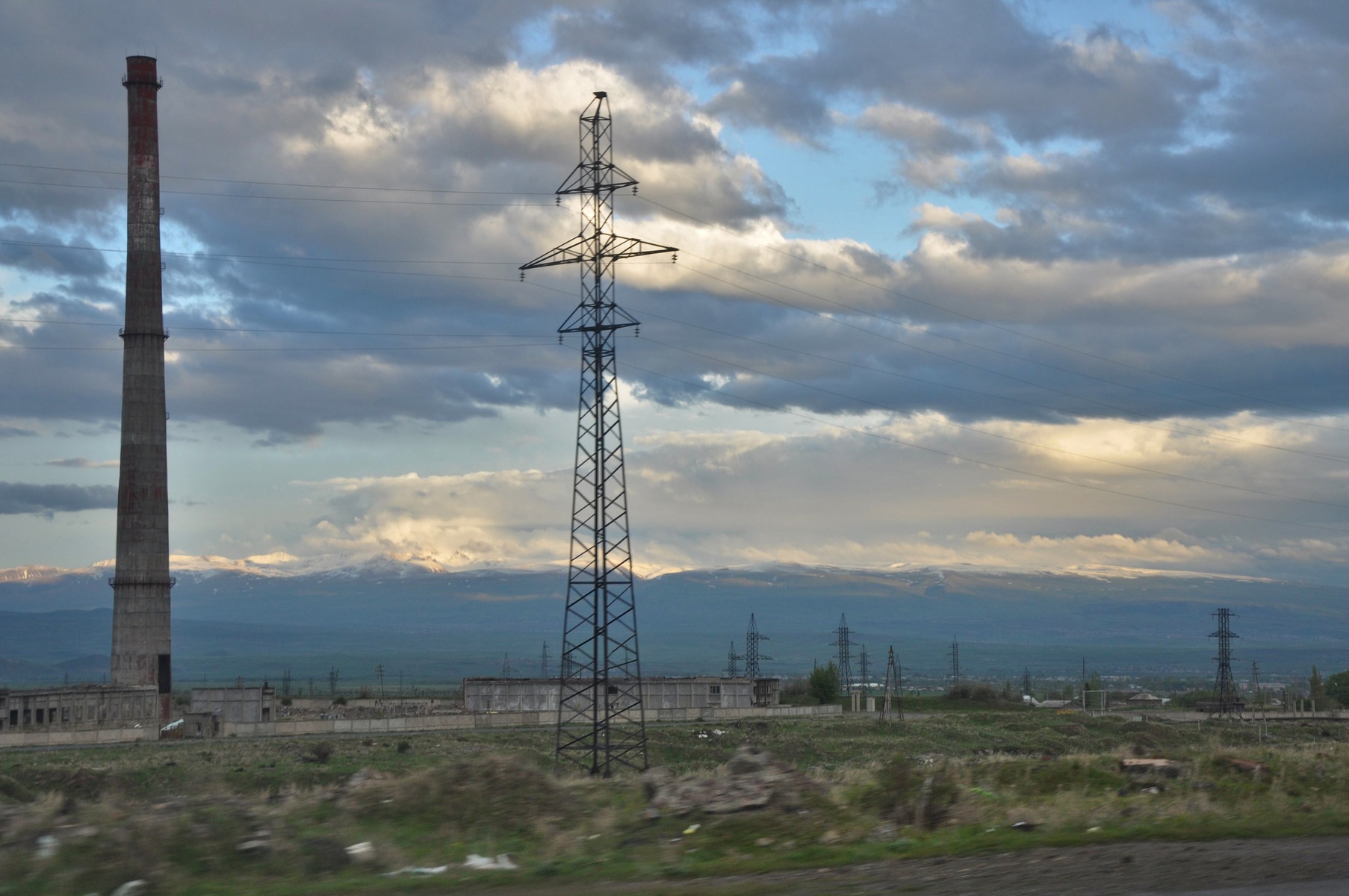
Along the road there are many abandoned soviet factories. As we were told, the region de-gradated after the 1988 Armenian earthquake. It didn't restore to the past level after that.

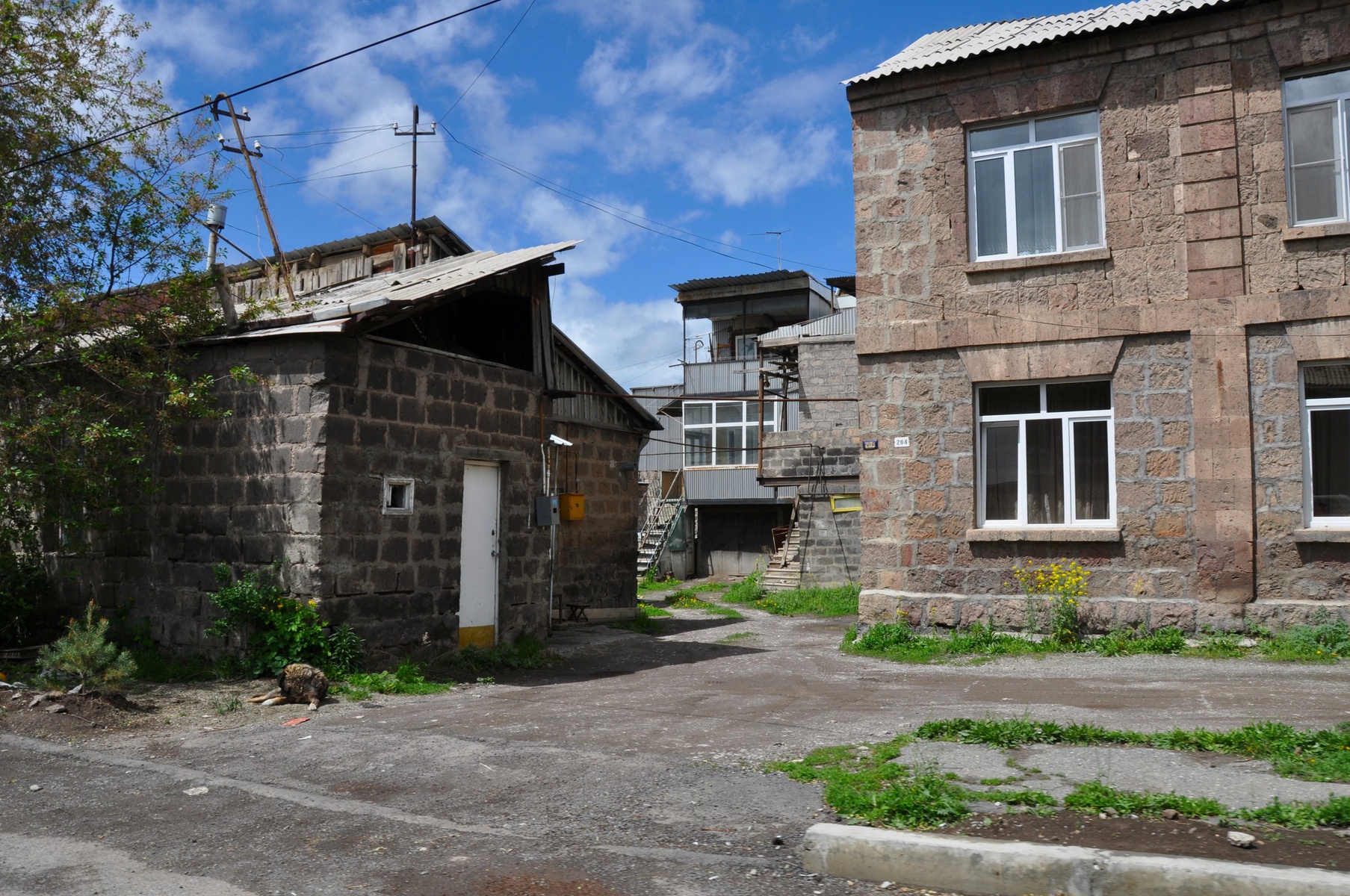
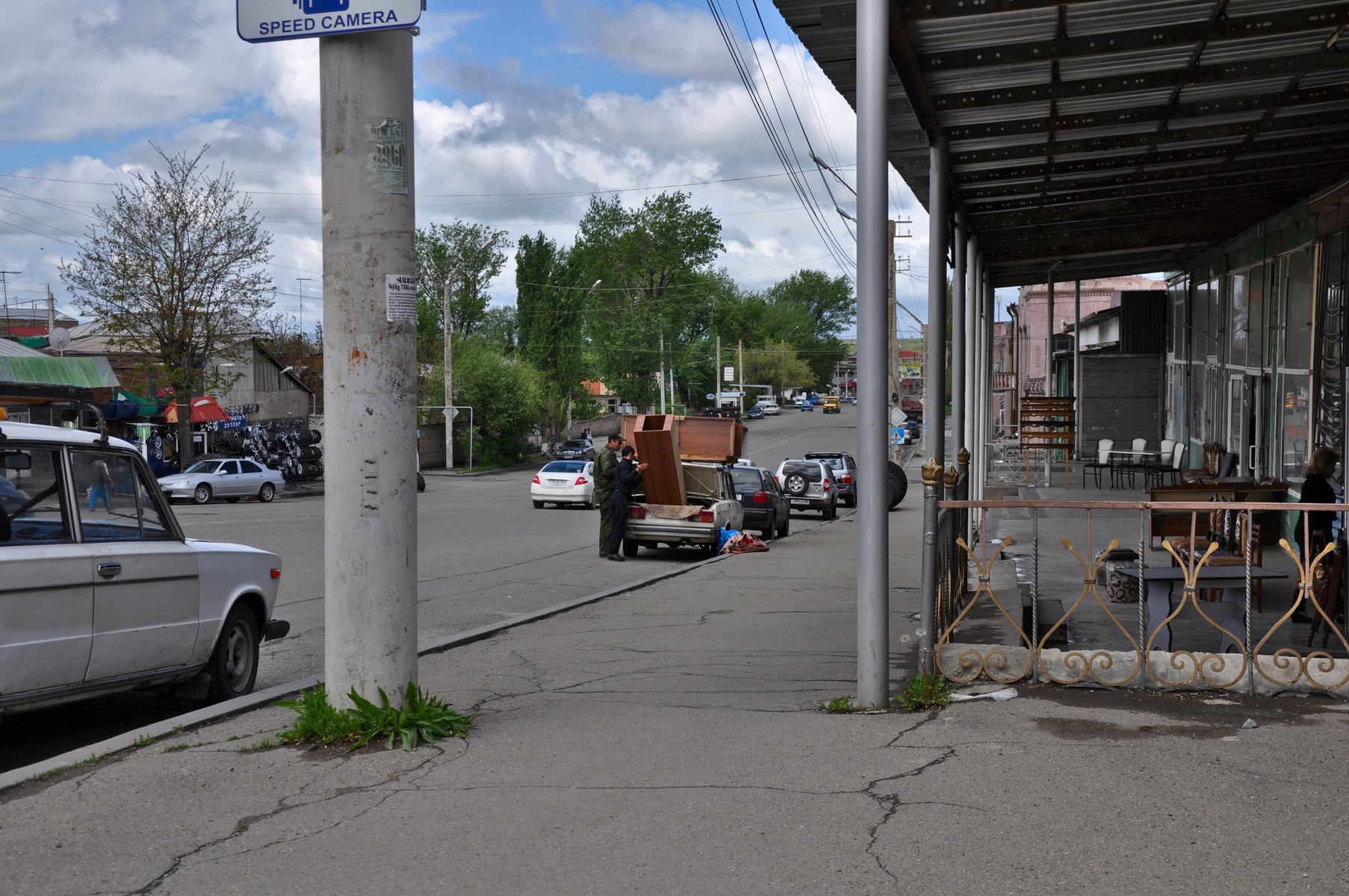
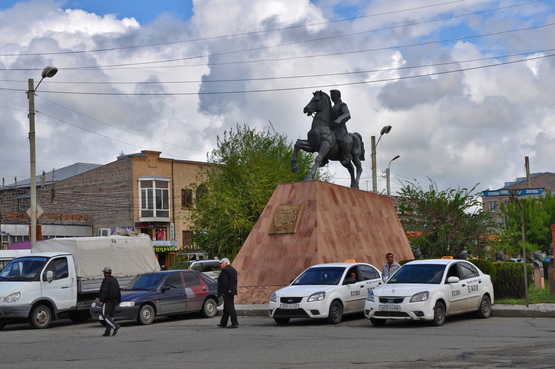
The city of Gyumri looks extremely poor. Even in the city center.